Habitation Pécoul

Habitation Pécoul is a large Creole-style house whose entrance is embellished by an avenue of palm trees. Formerly called "Habitation Basse-Pointe", Habitation Pécoul was originally owned by Claude Pocquet then Director General of the Company of Senegal to the Isles, militia captain, Advisor to Sovereign Council of Martinique, in the second half 17th century.

According to Father Labat, it "was off twelve hundred was not about three miles high" Subsequently, it was later cut to length for the benefit of several owners until 1745. It was then sent to owners Paris throughout the 18th century and acquired in 1777 by Jean François Pécoul, overseer of the son of the house owner and Habitation La Montagne in Saint-Pierre. He will give it its final name.

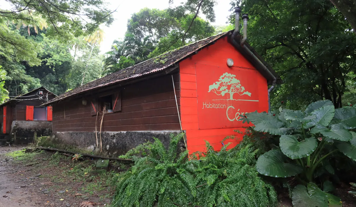
The main house was already the center of the spatial organization around which shone the boxes for workers and industrial buildings. The youngest son of Jean François Pécoul, Auguste François, became a member of the Martinique in 1848. His daughter, Augusta, married to Henry Origny settled on his son's company Home, François Louis of Origny in 1920.

It is she who will restore the assembly in its current form. Habitation Pécoul and facades, have been classified historical monuments in 1981. In 2002, the property has come all patrimonial formed within Groupe Bernard Hayot by Habitation Clément and Habitation la Sucrerie. Habitation Pécoul is between Habitation Moulin l'Etang in the west et l'Habitation Chalvet in the east.

It is accessed through a large driveway with coconut trees. The property lies on a land strip and has a total area of ​​about 176 hectares. It is located about 500 meters from the sea. The main house is the center of the domain.

The site is still fed by diversion canals of Rivière Poquet (river) water provide a stunning pool in the heart of a tropical garden. Outbuildings, boxes of workers and the gardens are located north of the house.

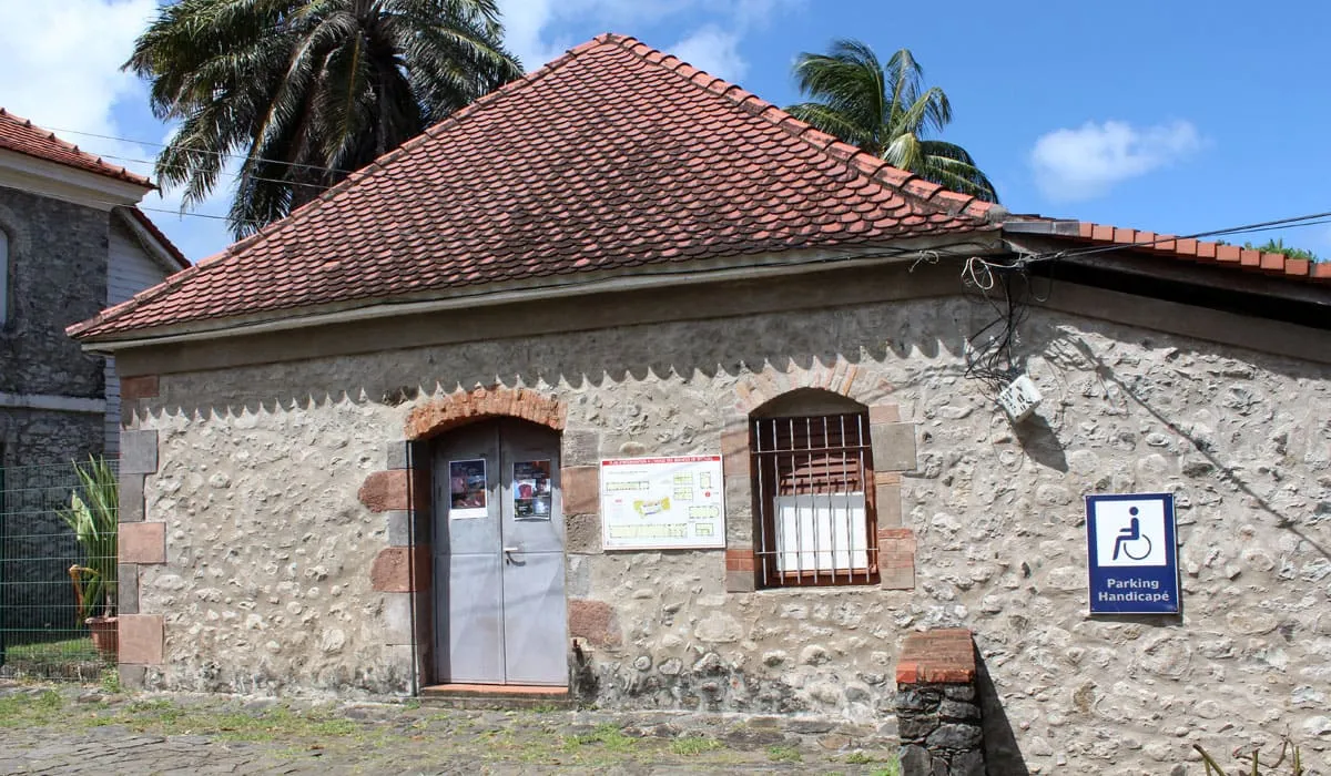
The colonial style house and its beautiful surroundings that can be visited during the European Heritage Days.

Photo gallery
Habitation Pécoul
Habitation Pécoul
Habitation Pécoul
Habitation Pécoul
Entrée de l'Habitation Pécoul
Panneau site Monument Historique

Habitation Céron

Habitation Ceron is a former sugar factory built in the early days of colonization in 1685, located in the town of Prêcheur. It was a place of growing coffee, cocoa, cassava and banana, but above all, a place of business of the sugar cane (rum and sugar cane). It is now partly in ruins, destroyed by the eruption of Mount Pelee the May 8, 1902.

Vestiges of its sugar past are still present because some buildings have withstood the lavas of the Mount Pelee but the Habitation is now primarily a tropical garden. A restaurant on site will allow you to taste the local flavors including many seafood (crayfish, chatrou, conch, fish) if you choose to eat there.

As an activity, you can make a very nice hike to a small waterfall and a pool for a nice river bath or excursions using a quad.

Photo gallery
Habitation Céron
Habitation Céron
Jardin de lHabitation Céron
Étang de l'Habitation Céron

Tombeau des Caraïbes

Located at 5 km north of Saint-Pierre, the Tombeau des Caraïbes (Tomb of the Carib Indian) owes its name to the fact that according to legend, the Carib Indian would have preferred to skip past this cliff and commit suicide rather than be enslaved by the French.

Nearby is the Mémorial du Tombeau des Caraïbes. The sculptor Chantal Hippocrate was inspired by this legend and sculpted 34 totems of the number of municipalities in Martinique and placed them around a rock painted in white. On these totems, poetic dedications were inscribed.

Photo gallery
Statuette du tombeau des Caraïbes

Church Notre Dame de l'Assomption

The Church of Notre-Dame de l'Assomption, one of the oldest in Martinique, was built between 1640 and 1645.

Originally, it was a simple hut, on the site of the present church. At the end of 1635, it was the Sieur de la Vallée who was given this neighborhood, after the departure of Carib Indian chief Pilote who went to settle in the south of the island.

He built the neighborhood in parish and gave the location of the parsonage, the garden of the church, the cemetery and the savannah reserved for food for the priest's horse. The slave cemetery was in front of the church, where now stands the monument to the dead. In the 17th and 18th centuries, religious buildings have been repaired several times and even rebuilt.

In 1903, in very bad condition, works were again executed, siding and roof of the church was rebuilt and they were repainted. It was built in Baroque style by Dominican missionaries.

The "shell" Saint-Jacques that it notices at the pediment above the main entrance, is the emblem of this religious order. Only the facade is listed historic monument. The ceiling inside shaped keel upturned boat is the hallmark of this era when carpenters were from the Navy.

Photo gallery
Église Notre Dame de l'Assomption

Fonds Saint Jacques

Built in 1658, this former convent was the home of Father Labat between 1694 and 1705. He founded the Habitation Fonds Saint-Jacques, where he developed a new model of alembic to distill rum using the "cognaçaise" method.

The new production of rum, Father Labat will propel the Domain to the forefront of the Caribbean. It will first produce sugar and then turn to the production of rum after the sugarcane crisis.

The Habitation is today a place of memory and an exceptional heritage site. It is now a property of the Unique Collectivity (local government).

It graduated in 2001 with the label "Centre Culturel de Rencontres" (Center for Cultural Exchanges), which allows it to develop a science project focused on oral traditions, including storytelling. It is also a space for cultural and artistic events.

Photo gallery
Panneau d'affichage à l'entrée de Fonds Saint-Jacques
Bâtisse de Fonds Saint-Jacques

Le Galion

Former possession of the powerful family Dubuc, the sugar refinery Galion became the possession of a merchant of Saint-Pierre, Eugene Eustache who bought the debt of the former owners.

Around 1861, he decided to make a factory because the sugar plantations closed the ones after the other due to the foreign competition. The institution created is called "Usine le Galion". He bought the plantations nearby to supply sugar canes directly without having to buy. Gradually it has an area of ​​2300 hectares.

Galion got prosperous and the strong demand for sugar in the early 20th century allow him to make impressive profits. However, from the mid-20th century the factory is experienced major difficulties due to management problems, the sharp decline in demand, and the cost of production of sugar cane.

In 1984, the management of Le Galion is transferred to local authorities which inject money to cover its debts. Today le Galion belongs to an European investment fund (COFFEP) which the holding company La Martiniquaise is the owner of distilleries Dillon, Depaz, Negrita, etc. It is situated on the N1 between the cities of Robert et Trinité.

Photo gallery
Entrée de la l'Usine du Galion
Remorque utilisée lors de la récolte de la canne
Boutique de l'usine du Galion

Mount Pelee

At 1,397 meters (4,583 feet) above sea level, Mount Pelee (Montagne Pelée in French) is Martinique's highest point. The volcano is still active and left an indelible scar when it erupted on May 8, 1902.

Its eruption is said to have killed over 32,000 people and destroyed the town of Saint-Pierre, then the capital of Martinique. The uniqueness of its eruption has even led to its name being used today to characterize a type of eruption (pelean eruption). Although many claim that Mount Pelée is located in Saint-Pierre, the volcano is actually in the commune of Morne-Rouge.

On September 30, 2023, the volcanoes and forests of Montagne Pelée and the Pitons in the north of Martinique were declared a UNESCO World Heritage Site.

If you're looking for a breath of fresh air, this is the place to be in Martinique. Indeed, at its summit, it would be around 10°C, the lowest temperature you'll find on the island. The further up the mountain you climb, the cooler it gets.

Its summit, known as "Le Chinois", rises to 1397 meters and is only visible for an average of seven days a year! So it's extremely rare that the clouds don't hide it, revealing its full contours.

Bring hiking boots and a raincoat, as it rains almost every day. On sunnier days, it can also be very hot, and the sun beats down more and more as you climb, so don't forget your cap or hat and plenty of water.

The climb up Mount Pelée takes around 5 hours, or even 6 hours if you plan to reach the summit. To get the most out of the site, plan to go very early in the morning (from 5 or 6 AM). You can choose to climb via the Aileron or the Grande Savane. Only the most experienced hikers/climbers can hope to reach the summit.

On the way back, you can stop off at the small restaurant bar in the parking lot to refuel before setting off again.

To get there, head north to Martinique, and once you've arrived in the commune of Morne-Rouge, head towards Ajoupa-Bouillon, taking the Route de l'Aileron to the parking lot of the 1st refuge (822 m). This first route leads to the 2nd refuge (1250 m) on the edge of the Caldeira. The signs will show you how to get there quite easily.

Photo gallery
Mount Pelee
Mount Pelee
Mount Pelee
Mount Pelee
Mount Pelee
Mount Pelee
Mount Pelee
Mount Pelee
Mount Pelee
Mount Pelee
Mount Pelee
Mount Pelee
Mount Pelee
Mount Pelee