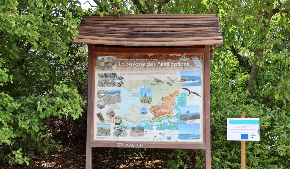
Savane des Pétrifications
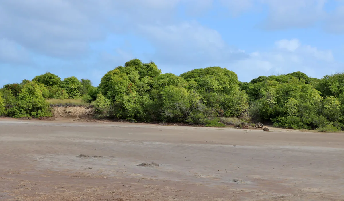
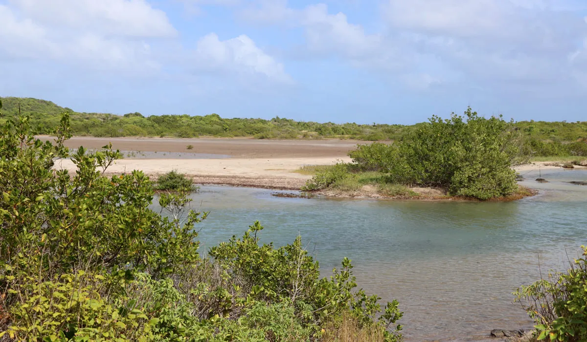
Near the very famous Salines beach in the town of Sainte Anne, is the Savane des Pétrifications at the southern tip of Martinique. It is an old dry marsh where there were once many pieces of wood, sometimes fossilized trees.
However, looting has removed these geological remains and the place has become a land of hiking visitors coming to admire the surprising landscape.
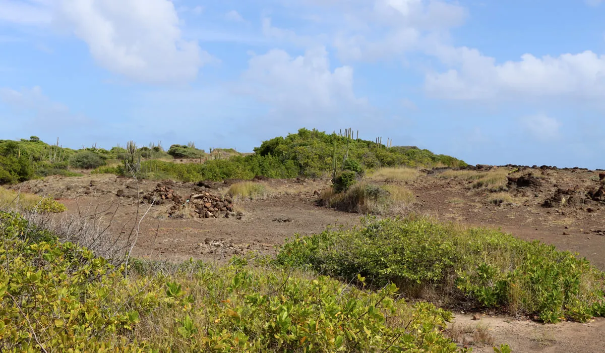
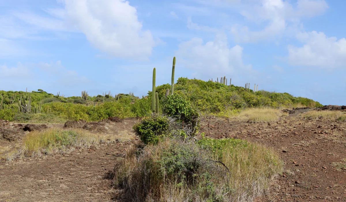
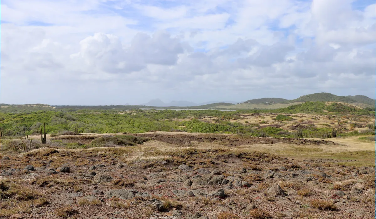
The area is almost desert and contrasts with the rest of the landscape of the islet. The Savane des Pétrifications is located on the site of a very old volcano of which the Morne des Pétrifications which rises to 119 meters is one of the remains.
The bare land of this desert is strewn with blocks of yellow, red or black polychrome jasper, giving the landscape an astonishing lunar aspect.
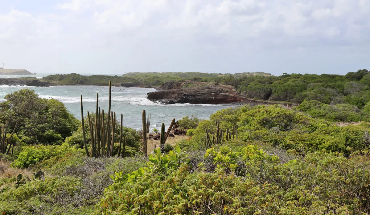
It is located in front of the Table du Diable, a huge rock that has risen from the waves a few cables offshore and the subject of many legends.
Note that the Savane des Pétrifications is with the Presqu'île de la Caravelle (Caravelle Peninsula) one of the oldest parts of Martinique and that these two original parts were linked gradually by successive volcanic eruptions to form the current Martinique .
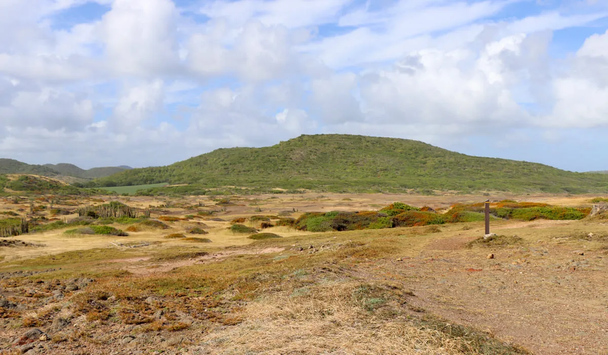
The Savane des Pétrifications is one of the stages of the "Trace des Caps" hike, a path that runs along the southern coast of Martinique and is a site classified by the Parc Naturel régional of the island.